


So this morning I am sat in my tent planning out my route for day 3. I was planning to write this last night, but sleep interrupted my thoughts. My sleep was then interrupted by a hedgehog sneaking under my flysheet and snuffling at the zip to the inner sometime around 2am this morning. He didn’t seem at all bothered by my presence!
Yesterday’s ride was quite tough. 74 miles, but after I’d polished off a hearty breakfast of “bacon flavoured” super noodles (the breakfast of champions) and a couple of cereal bars I felt ready for it. Here was where I encountered my first issue of the trip. Talking to a friend the night before I left, I mentioned that I felt as if I’d forgotten to pack something important but could quite put my finger on what it was. Yesterday I found out. It was the map of France for my bike garmin sat nav – I was intending to download it. So this renders the garmin almost useless, apart from tracking how far I’ve ridden, it’s now is no help in telling me where to go! So back to reliance on Google maps and guesswork. Figure worst case scenario, I have a compass and if I keep going south I’ll find the Mediterranean eventually…..
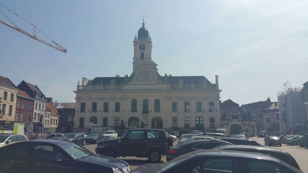
The mornings ride down to Aire sur la Lys was good. Nothing too arduous apart from the discovery that whilst Google knows a lot of stuff, it knows nothing about riverside paths in France. Some of its suggested routes were a total non-starter, so I had to follow my nose most of the way, but I got there in good order and stopped for a coffee and a refill of the water bottles.

Quite a pretty little town, not overly touristy and a very helpful cafe owner who didn’t speak a work of English, but managed to have the patience to comprehend my appalling French.
Heading south(ish) from there I was able to follow the canals for a reasonable amount of time, which should have been a really lovely ride. Unfortunately I was struck with horrendous cramps in my thigh about half a dozen times which kind of took the edge of it more than a little. There aren’t really any further photos from yesterday as I spent the rest of the day pushing tired cramping legs through a further 43 miles to arrive at my Google mapped campsite south of Lens.
The reviewers on Google described this campsite as “quiet” “unspoilt” – a host of words which attracted me to it. When I arrived to see a 20 foot high inflatable cow straddling the front gates I knew I’d been duped. But it was too late go head anywhere else, so I pitched up and grabbed a beer before crashing out.
So today the aim is to head down toward Crecy sur Serre and find somewhere to pitch for the night. The ground between here and there could best be described as undulating. My preferred description for the elevation profile pattern would be like a concertina. This should test the legs again.
Time for breakfast first. On today’s menu….Uncle Ben’s Mediterranean vegetable rice, a tin of tuna and two croissant from the local baker….